Executive Secretary

Simposio Internacional "Hábitat y Desarrollo Comunitario Sostenible"
HAB-COM 2021

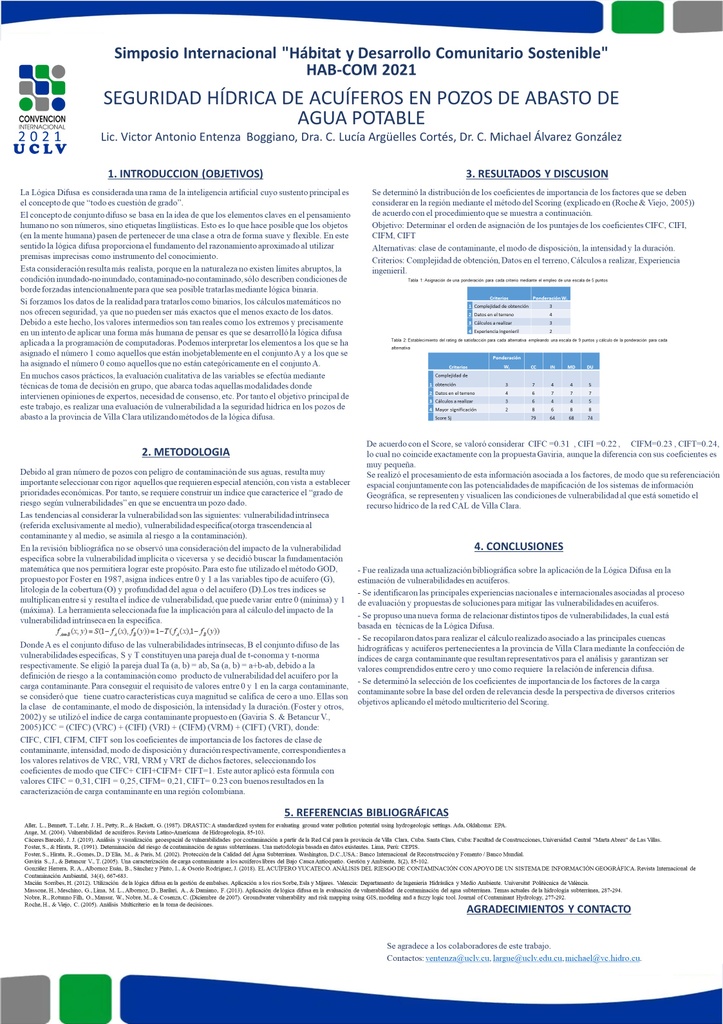
La gestión de recursos hídricos juega un papel fundamental en el desarrollo de la capacidad de resiliencia del país luego del embate de la COVID-19. El estudio de la vulnerabilidad a la contaminación cobra gran importancia en dicha gestión.
Se realiza un estudio de vulnerabilidad de acuíferos para la provincia de Villa Clara a fin de analizar el comportamiento de la seguridad hídrica actual en esta región.
Se asume por objetivo principal determinar el grado de vulnerabilidad de un acuífero vinculado a una red de pozos ubicados en la provincia de Villa Clara y su representación por medio de mapas temáticos asociados al proceso de explotación y gestión medio ambiental-gubernamental.
Esto se logra al utilizar el método GOD por sus características de sencillez y su rango de valores para calcular los grados de vulnerabilidad estimados, se determina una relación entre la vulnerabilidad intrínseca y la vulnerabilidad específica aplicando la noción de inferencia difusa y los resultados se reflejan en mapas temáticos a partir de las vulnerabilidades en los pozos de control de la Red CAL pertenecientes a la provincia.
El cálculo realizado para las principales cuencas hidrográficas y acuíferos pertenecientes a la provincia de Villa Clara permitieron valorar la vulnerabilidad de estos complejos sistemas que constituyen las principales fuentes de abasto y desarrollo socio económico en el territorio villaclareño.
Se aplicaron nuevos índices de cálculo de vulnerabilidad mediante técnicas difusas y los resultados se mostraron en los mapas temáticos de vulnerabilidad.
The management of hydric resources, plays a fundamental role in the development of the capability of resilience of the country right after the COVID-19's onslaught. The study of vulnerability to the contamination collects great importance in the aforementioned management.
It is carried out a study of vulnerability of aquifers for the county of Villa Clara in order to analyze the behavior of the hydraulic security in this region.
It is assumed as the main objective to determine the degree of vulnerability of an aquifer linked to a net of wells located in the county of Villa Clara and the representation by means of thematic maps associated to the process of exploitation and environmental-government administration.
This was possible when using the method GOD because of its simplicity and range of values to calculate the vulnerability degrees, a relationship is determined between the intrinsic vulnerability and the specific vulnerability applying the notion of diffuse inference and the results are reflected in thematic maps starting from the vulnerabilities in the wells of control of the Net LIME belonging to the county.
The calculation carried out for the main basins belonging to the county of Villa Clara allowed valuing the vulnerability of these complex systems that constitute the main supply sources and economic development in the territory.
New indexes of vulnerability calculation were applied by means of diffuse technics and the results were shown in the thematic maps of vulnerability.
Sobre el ponente

Lic. Victor Antonio Entenza Boggiano


