Executive Secretary

10th International Scientific Conference on Agricultural Development and SustainabilityAGROCENTRO 2023
Agrocentro 2021

Abstract
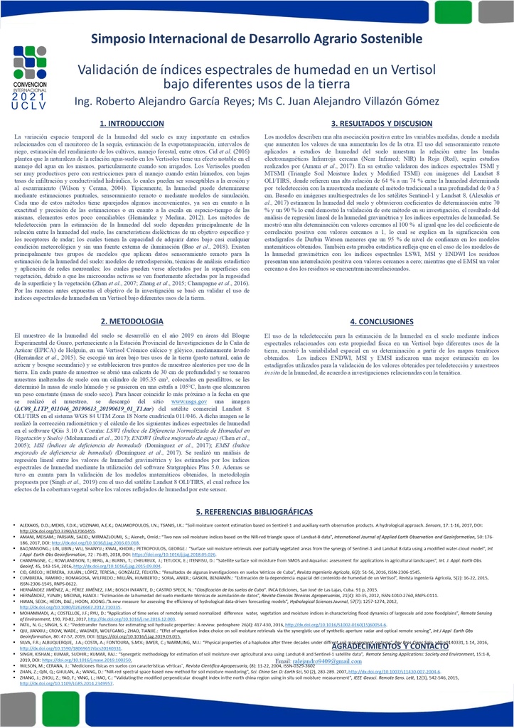
Remote sensing has been used for studies of soil moisture status, a very important property in studies related to agricultural production, particularly those of the Vertisol type, due to its hydrophysical properties which vary according to the use and management of the soil. The objective of the research was based on validating the use of spectral indices of humidity in a Vertisol under different land uses. An area under natural pasture, sugar cane and secondary forest was chosen and three random sampling points were established by land use up to a depth of 30.0 cm, for the determination of gravimetric humidity which was related through analysis of linear regression with the spectral indices of humidity and the calculation of parameters for its validation. The use of remote sensing showed the spatial variability in the determination of the Vertisol moisture status in the three land uses in the thematic maps obtained. The ENDWI, MSI and EMSI indices indicated a better estimate in the statistics used for the validation of the values obtained by remote sensing and in situ humidity sampling, according to research related to the subject.
Resumen
Remote sensing has been used for studies of soil moisture status, a very important property in studies related to agricultural production, particularly those of the Vertisol type, due to its hydrophysical properties which vary according to the use and management of the soil. The objective of the research was based on validating the use of spectral indices of humidity in a Vertisol under different land uses. An area under natural pasture, sugar cane and secondary forest was chosen and three random sampling points were established by land use up to a depth of 30.0 cm, for the determination of gravimetric humidity which was related through analysis of linear regression with the spectral indices of humidity and the calculation of parameters for its validation. The use of remote sensing showed the spatial variability in the determination of the Vertisol moisture status in the three land uses in the thematic maps obtained. The ENDWI, MSI and EMSI indices indicated a better estimate in the statistics used for the validation of the values obtained by remote sensing and in situ humidity sampling, according to research related to the subject.
About The Speaker

Prof. Roberto Alejandro García Reyes

Discussion

