Executive Secretary

9th International Scientific Conference on Agricultural Development and Sustainability
10th Symposium of Agronomy
Abstract
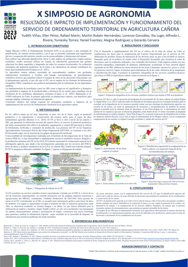
The objective of the work was to present the main results and impacts of the implementation of the Territorial Planning service in sugarcane agriculture, which allows greater reliability in the control of the land and its use, support for decision-making in planting programs, varieties, calculation of fertilizers, herbicides, production estimates, blocking and identification of limiting factors. Its implementation and operation defined the bases for updating the Specialized Cadastre in the sugarcane area of the country. It contributed to the execution of the program to bring the sugarcane areas closer to the sugar mill, allowing us to have an agricultural planning strategy that favors the correct use of the land, as well as the determination of vulnerable areas in the sugar companies with a view to facing the effects of change climate. It constituted the geospatial expression of the scientific-technical services offered by the Sugarcane Research Institute to the producer. It facilitated the blocking of the sugarcane areas and the compaction of the blocks, with a saving in land preparation of 26,400 CUP for each block ordered and at the sugarcane production unit level of 396,000 CUP, considering as an average per sugarcane producing unit 15 blocks, with an average area of 52.8 hectares. Efficient decision-making is facilitated to establish integral technologies from preparing the soil to harvesting, with great impact from a social and environmental point of view.
Resumen
El trabajo tuvo como objetivo exponer los principales resultados e impactos de la implementación del servicio de Ordenamiento Territorial en la agricultura cañera, que permite mayor fiabilidad en el control de la tierra y su uso, soporte para la toma de decisiones en los programas de siembra, variedades, cálculo de fertilizantes, herbicidas, estimados de producción, bloquificación e identificación de factores limitantes. Su implementación y funcionamiento definieron las bases para la actualización del Catastro Especializado en el área cañera del país. Contribuyó a la ejecución del programa de acercamiento de las áreas al central, permitió contar con una estrategia de planificación agrícola que favorece el uso correcto de las tierras, así como la determinación de las áreas vulnerables en las empresas con vistas a enfrentar las afectaciones del cambio climático. Constituyó la expresión geoespacial de los servicios científico-técnicos que ofrece el Instituto de Investigaciones de la Caña de Azúcar al productor. Facilitó la bloquificación de las áreas cañeras y la compactación de los bloques, con un ahorro en la preparación de tierras de 26 400 CUP por cada bloque ordenado y a nivel de unidad productora de 396 000 CUP, considerando como media por unidad productora 15 bloques, con un área promedio de 52,8 hectáreas. Se facilita la toma de decisiones eficientes para establecer tecnologías integrales desde preparar los suelos hasta la cosecha, con gran repercusión desde el punto de vista social y ambiental.
About The Speaker

M. Sc. Yudith Viñas Quintero

Discussion